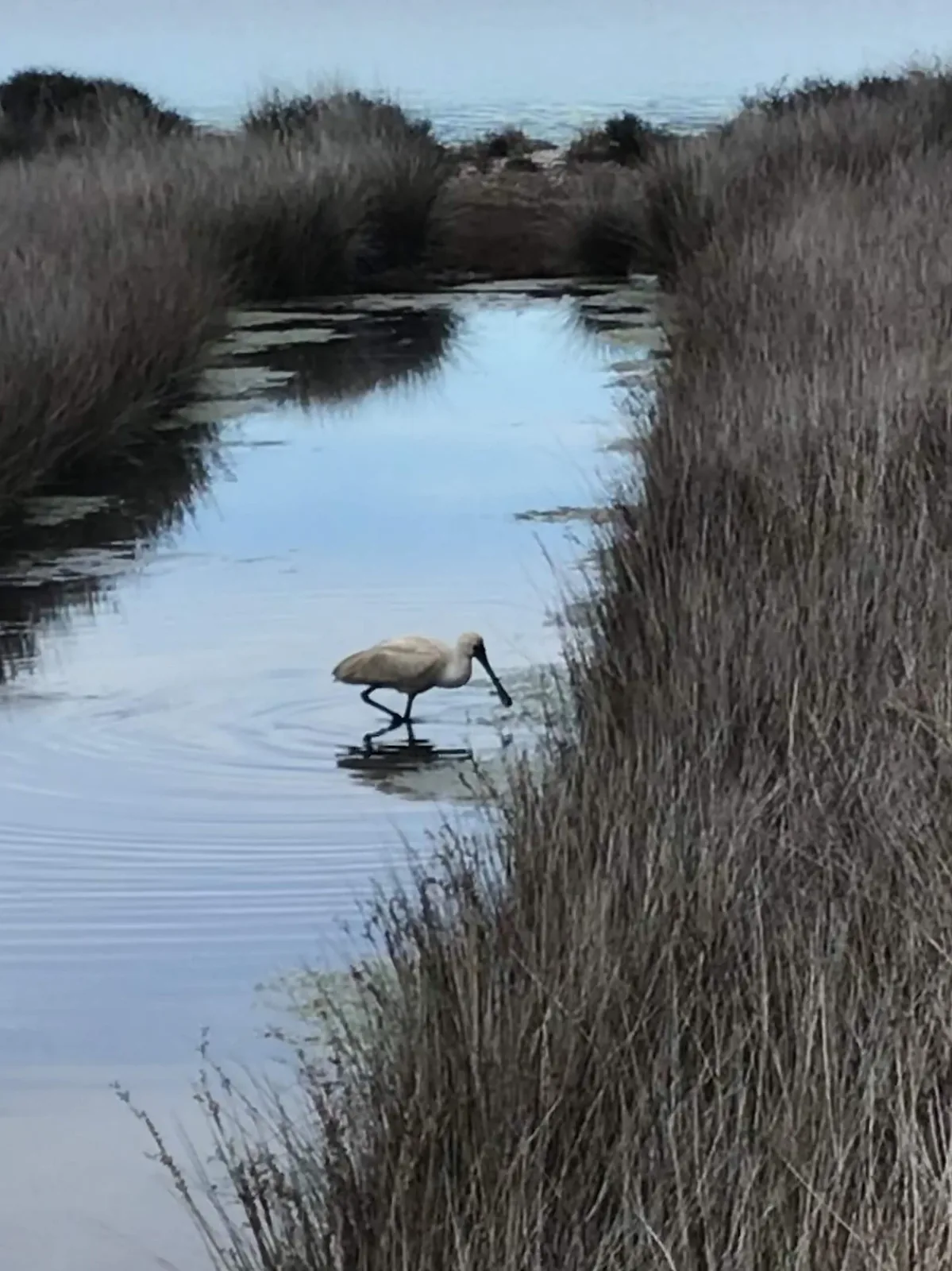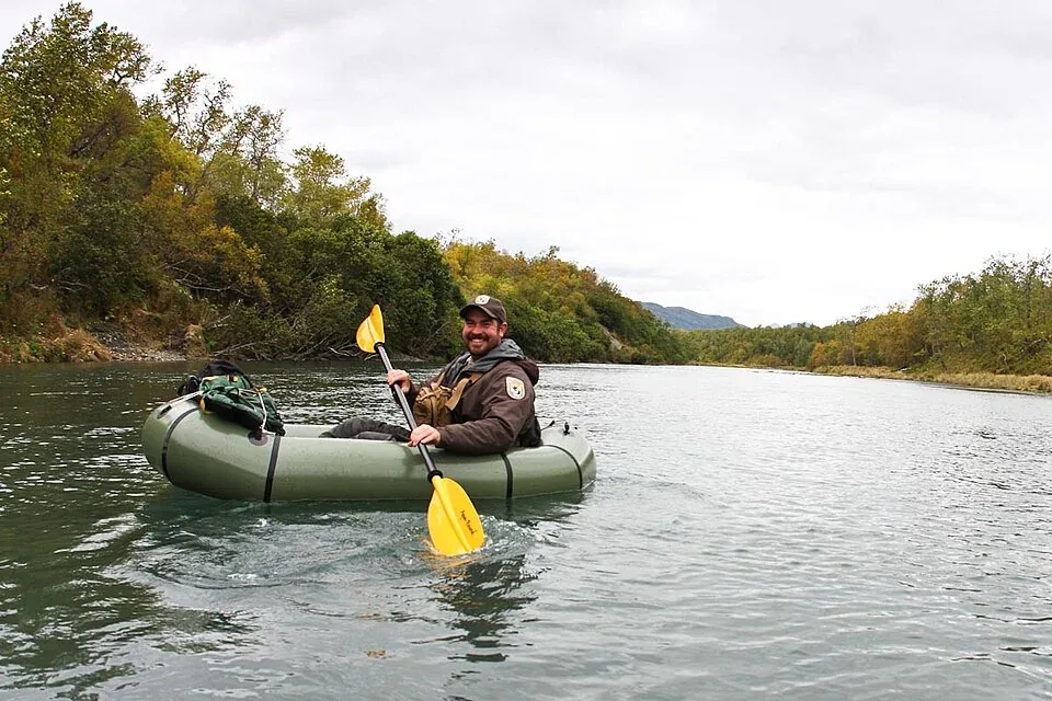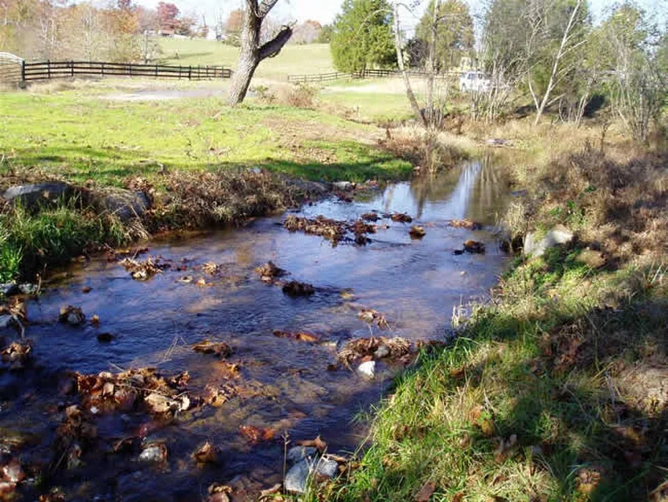
A wildlife corridor is a connection among habitat patches, but whether it helps depends on its location, quality, width, and the species expected to use it. A green line on a map does not demonstrate movement. Researchers may use camera traps, telemetry, genetic samples, or repeated field observations to test whether animals cross and whether that movement supports survival or reproduction.
Climate adaptation adds another layer: species may need routes to track changing temperature or rainfall, while roads and land conversion can close those routes. Planning should connect protected areas with working landscapes and respect local land rights. The CBD framework includes connectivity in its area-based conservation target; local ecological evidence is still needed to design a corridor.
Connectivity is a property of moving animals
Wildlife corridors are routes or networks that allow animals to move between habitat areas. Their value depends on the target species, life stage, season, and landscape. A corridor used by a wide-ranging mammal may not serve a small amphibian, and a path that is passable in one season may become a barrier during drought or heavy traffic. Conservation plans should define what kind of movement they aim to support: daily foraging, dispersal, breeding, or climate-related range shifts. Without that question, corridor maps can look persuasive while leaving the ecological function untested.
Climate change makes options more valuable
As temperature and precipitation patterns change, species may shift the places where they can find suitable conditions. Maintaining connected habitat can preserve options for movement, but a corridor cannot guarantee that every species will track climate successfully. Elevation, soils, vegetation, land tenure, and barriers influence whether movement is possible. The CBD's global framework calls for ecological connectivity as part of area-based conservation, while IUCN protected-area guidance emphasizes planning across broader landscapes. These sources support a planning principle, not a claim that a particular corridor has already delivered climate adaptation. Site-level monitoring is needed to evaluate use.
A line on a map needs field verification
Satellite imagery can identify forest cover, rivers, and land-use change, but it may not show whether an animal can cross a road or move through degraded understory. Field checks, camera traps, GPS data, and genetic studies can test different parts of the connectivity question. Each has limits: cameras sample a point, tags sample selected individuals, and genetic data integrate movement across generations. Combining methods is powerful when the survey design is clear. A corridor assessment should state its scale and uncertainty rather than present a single model output as a definitive route for all wildlife.
Infrastructure creates specific pinch points
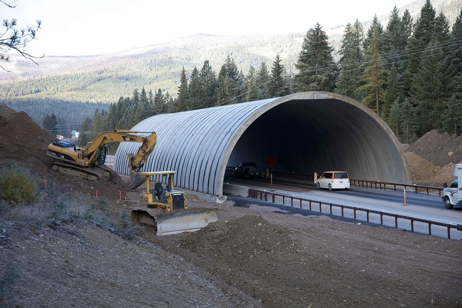
Highways, fences, railways, canals, and urban development can constrict movement. Mitigation might include overpasses, underpasses, modified fences, or habitat restoration, but structures need to be matched to the animals and maintained over time. A crossing that is built but rarely used may require changes in placement, cover, or approach habitat. Monitoring should record both wildlife use and road mortality, because more crossings do not automatically mean fewer deaths. Planning is most effective before a route is fixed, when alternative alignments and cumulative effects can still be considered.
Corridors cross farms and communities
Many potential routes run through places where people live and work. Landowners and communities may face costs if wildlife movement increases crop damage, livestock conflict, or restrictions on development. Those concerns should be part of corridor design from the beginning. Agreements, incentives, fencing choices, and response plans can help distribute costs more fairly. Local knowledge may identify routes that are missing from remote maps or reveal seasonal use that a short survey would overlook. A corridor plan is more durable when residents can influence the rules and see how decisions will affect them.
Protected area networks need outcome evidence
Target 3 of the Kunming-Montreal framework links protected areas and other conservation measures to effective management, ecological representation, connection, and equitable governance. Counting protected hectares alone cannot establish these conditions. UNEP-WCMC's Protected Planet work documents global coverage and highlights gaps in reporting on management effectiveness and outcomes. A corridor can connect two protected areas on paper while habitat between them remains hostile. Conservation agencies should define indicators such as movement, gene flow, habitat condition, or reduced mortality and publish them with dates. Global targets become meaningful when they lead to measurable local practice.
A corridor is infrastructure for uncertainty
The climate will not shift habitats in a perfectly predictable direction, and species will not respond at identical speeds. Connected landscapes offer flexibility, but they are only one part of adaptation alongside habitat quality, threat reduction, and human decisions. A credible claim describes which species and route were studied, what evidence shows movement, and how future conditions were modelled. The best corridor strategy may include several alternative pathways rather than a single narrow strip. Its success is not a label but an ongoing question answered through monitoring, maintenance, and collaboration across the landscapes that wildlife and people share.
Climate connectivity planning works best when based on habitat models and observed movement, tested against future climate scenarios. Models are useful for identifying candidate routes, but land ownership and infrastructure determine whether those routes can function. Field validation is necessary before major investments are made.