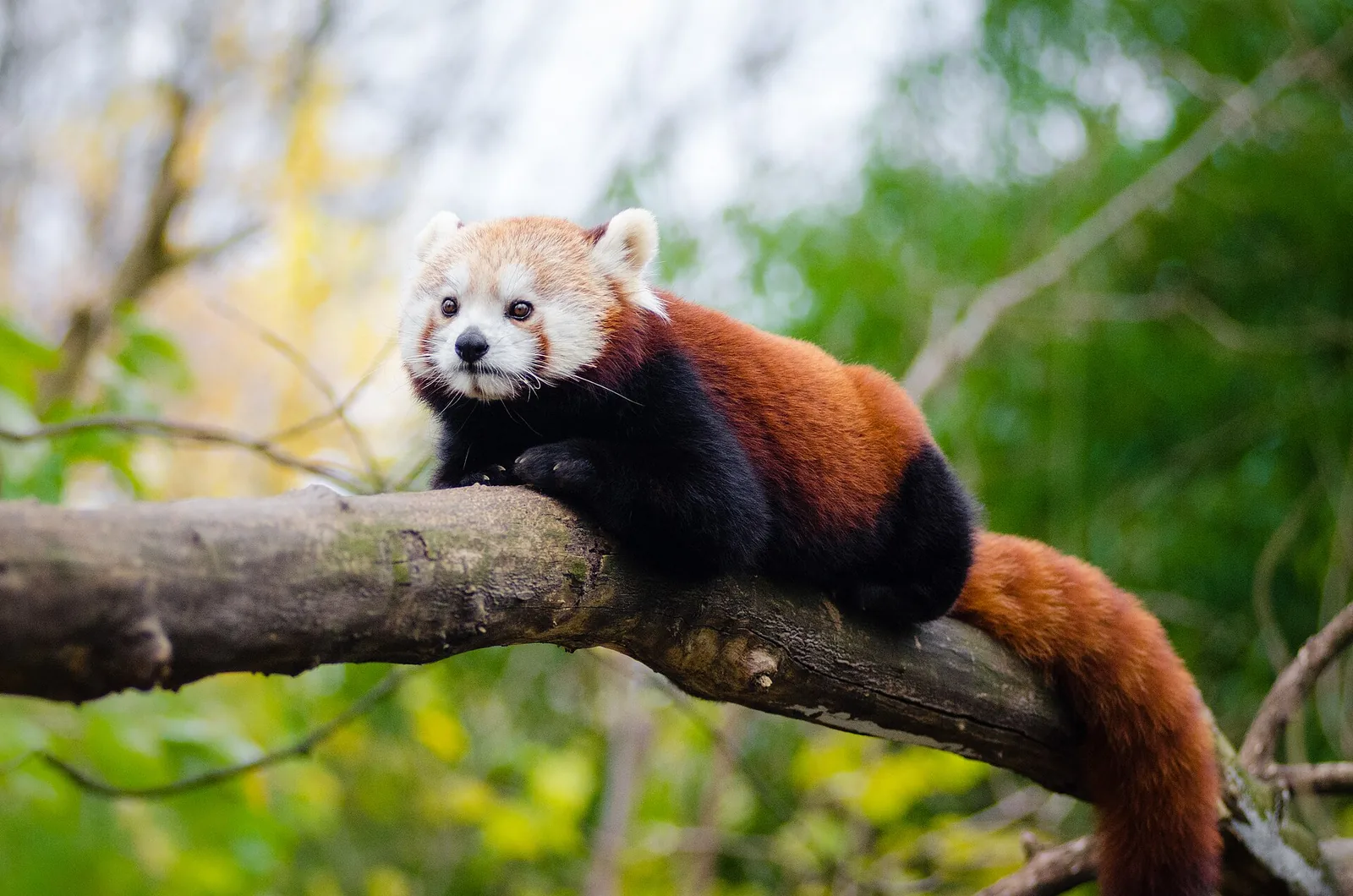
Red pandas are associated with temperate forests in the eastern Himalaya and adjacent regions, where bamboo is an important part of their diet. Their distribution crosses national borders, and forest fragmentation can separate habitat patches. The common name should not obscure that red pandas are a distinct lineage from giant pandas.
Conservation research combines camera traps, sign surveys, habitat mapping, and local knowledge. Roads, grazing, and forest loss can influence different areas in different ways, so broad range-wide claims need careful attribution. Avoid publishing exact den locations; report the assessment year when using a threat category, since status labels are periodically reviewed.
A small mammal in a large forest landscape
The red panda is a tree-climbing mammal associated with temperate forests in the eastern Himalaya and nearby mountain ranges. Bamboo is a major part of its diet, but the animal's needs extend beyond one food plant. Forest structure, tree cover, den sites, and the ability to move between patches all influence habitat suitability. Its range crosses national borders, which makes regional cooperation relevant. A species profile should identify the country or landscape being discussed instead of making a single local study stand for every red panda population.
Bamboo availability does not explain everything
Bamboo can dominate a red panda's diet, yet the distribution and condition of bamboo vary with elevation, forest type, and seasonal growth. A habitat may contain bamboo but still be unsuitable if forest connectivity or resting cover is poor. Researchers examine vegetation, camera detections, tracks, and signs of feeding to understand how animals use different parts of a landscape. A mapped bamboo area is not automatically a measure of carrying capacity. Strong conclusions need repeated observations and a clear description of how habitat suitability was assessed.
Fragmentation can turn a continuous range into islands
Roads, settlements, grazing, and forest conversion can divide habitat into smaller patches. When patches become isolated, animals may have fewer safe routes to find food or mates. The severity depends on local topography and the condition of the vegetation between patches. A corridor may help, but it should be verified with field evidence rather than assumed from a land-cover map. Camera traps and genetic sampling can answer different connectivity questions. Reports should avoid publishing precise den locations and should describe the scale of the study, because red pandas may use a broader landscape than a single camera station captures.
Camera traps require careful interpretation
A camera records that a red panda passed through a location during the time the equipment was active. More detections can reflect animal activity, camera placement, or a longer sampling period. Occupancy models can account for some detection limits, while density estimation requires additional methods and assumptions. Researchers should report effort, camera settings, failed devices, and how uncertain records were reviewed. A photo is valuable evidence of presence, but it does not reveal population size or trend on its own. This distinction prevents an exciting image from being turned into an unsupported claim of recovery.
People are part of the habitat story
Red panda landscapes are used by people for farming, grazing, fuel, and travel. Conservation choices can affect these uses, so local communities should help identify priorities and workable practices. Red Panda Network describes community-based forest guardianship and conservation work; specific results should be tied to its published programme reports rather than assumed from the organisation's general mission. A careful article asks who participates, how benefits are distributed, and whether habitat monitoring shows a change. Community partnership is strongest when it has durable resources and decision-making authority, not simply a volunteer title.
Threat categories need dates
The IUCN Red List assessment provides a formal status at a particular date and under a stated set of criteria. Categories can change when evidence improves or threats shift; a change does not always mean that the underlying situation has suddenly improved or worsened. Readers should consult the current assessment for range and threat details and avoid repeating an old category without its year. Broad claims about population size should be treated cautiously when the species is difficult to detect. If an estimate is used, the article should identify its method and geographic coverage.
What protection can be measured
A practical monitoring programme might track habitat extent, forest connectivity, camera detections, human-wildlife encounters, and local participation. These indicators need to be interpreted together. An increase in forest cover does not guarantee that it is connected, while a rise in camera detections may be an effort effect. Conservation outcomes can take years to emerge, so reporting should preserve a baseline and repeat methods. The red panda offers a chance to connect readers with Himalayan forest ecology, but the story should end with evidence and questions rather than a generic appeal. Protecting the species means understanding how the forest functions for wildlife and people.
Habitat connectivity can matter for red pandas because suitable forest patches may be separated by roads, settlements, or open land. Camera traps and genetic sampling can help test movement, while vegetation surveys assess food and shelter. These methods should be interpreted together rather than used as interchangeable measures.