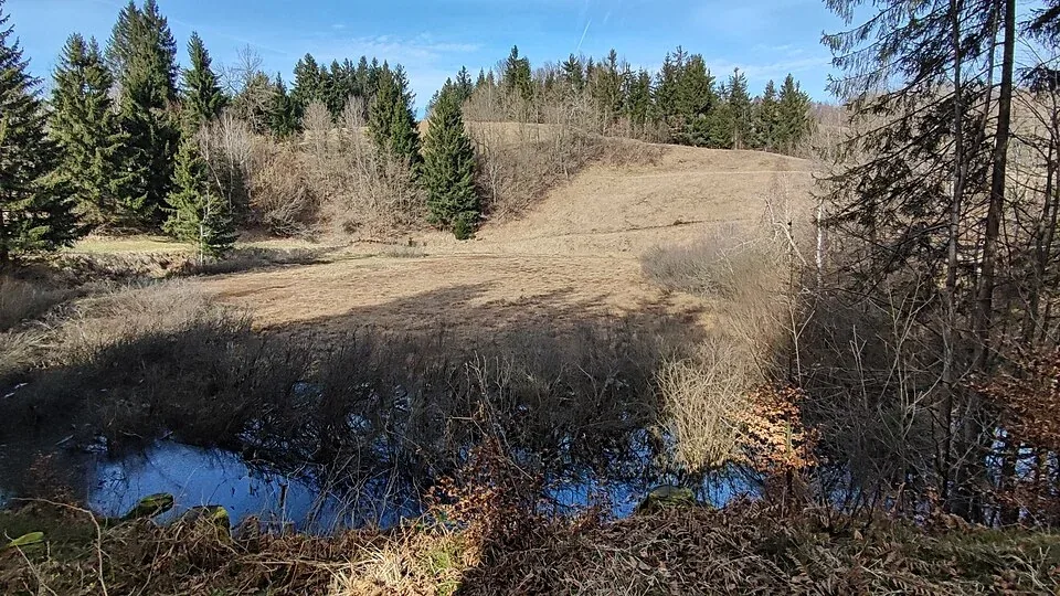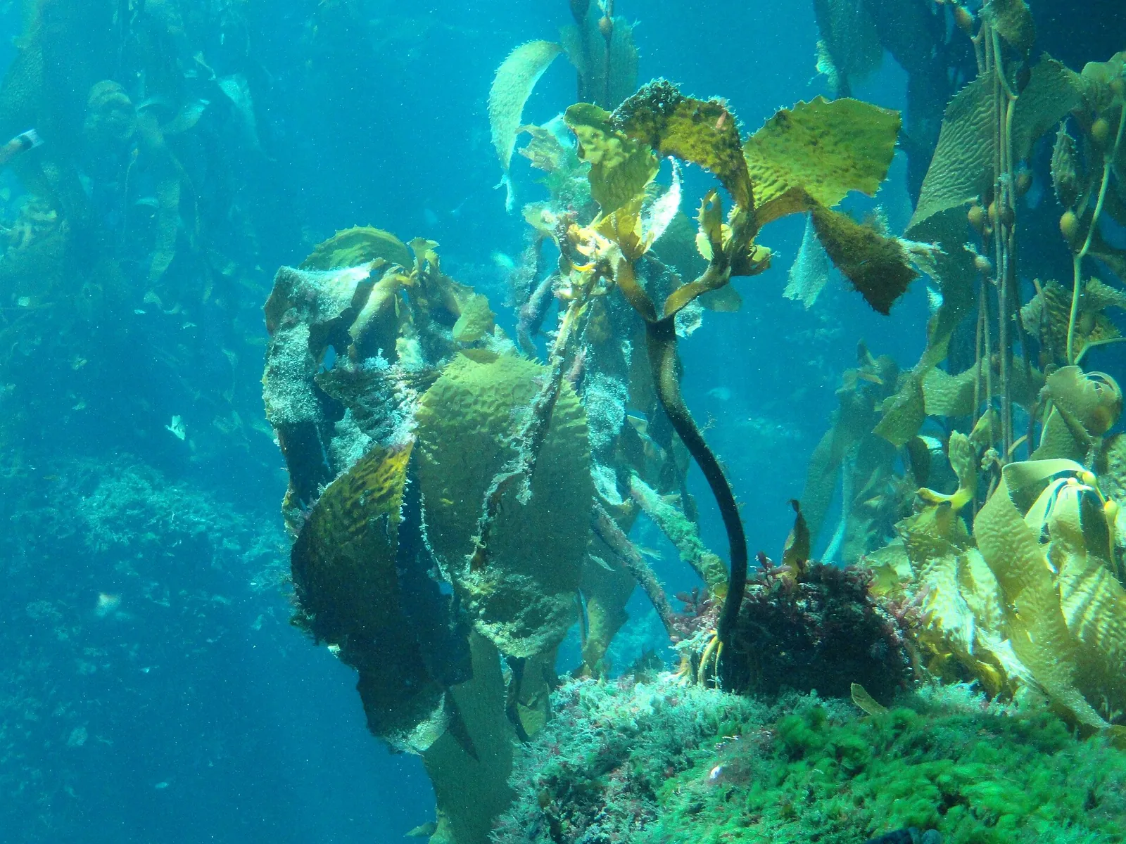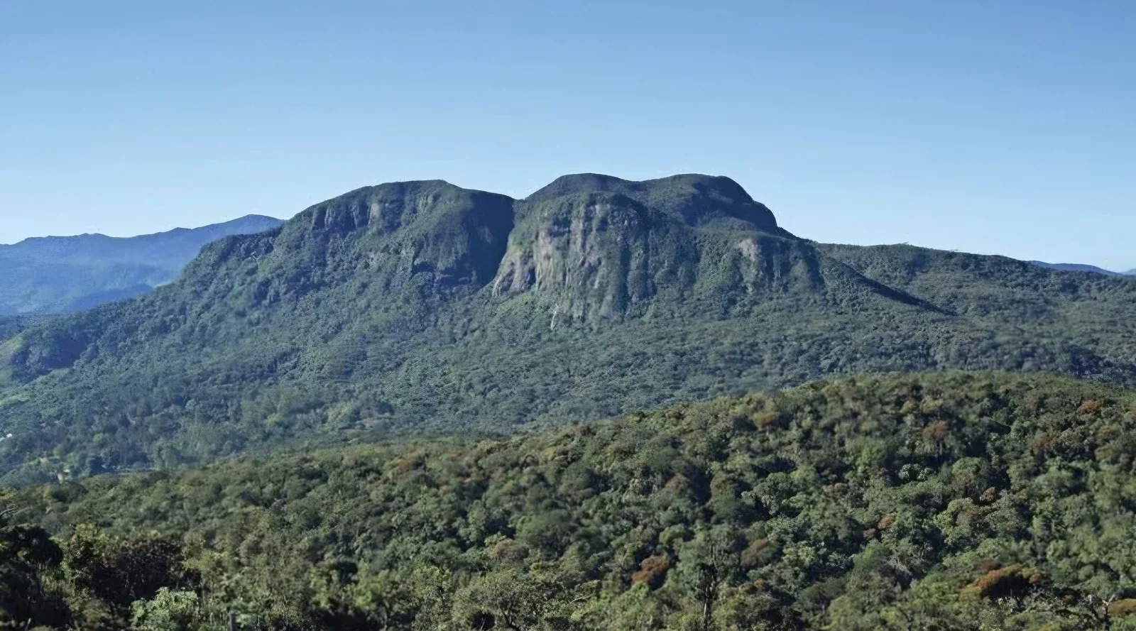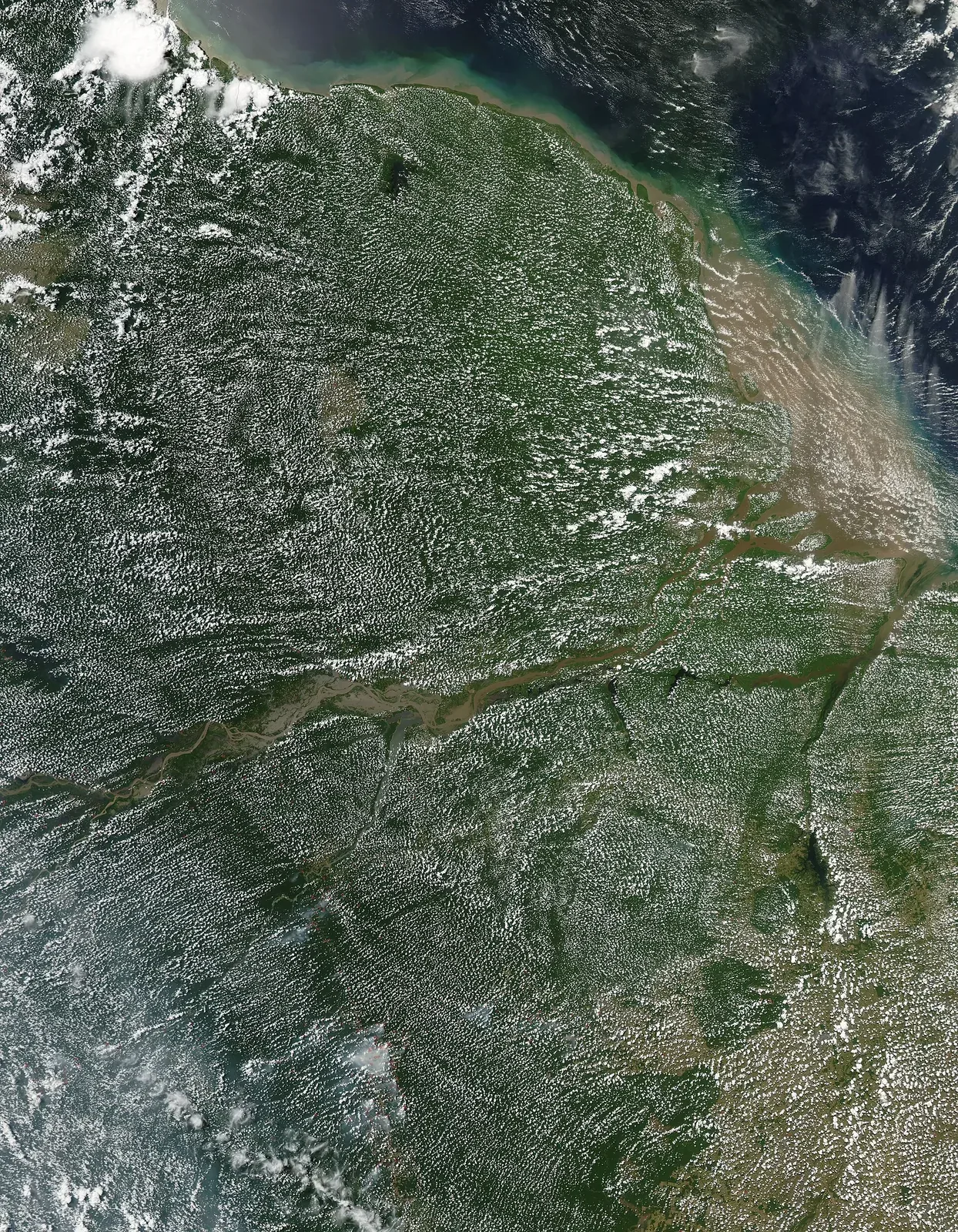
Amazon floodplains are shaped by the annual rise and fall of water. Flood pulses connect channels, lakes, forest, and aquatic communities, moving nutrients and changing where fish, plants, and people can travel. The basin is not one uniform forest: floodplain and upland ecosystems differ in soils, water chemistry, seasonal timing, and species composition.
The Science Panel for the Amazon's 2025 assessment emphasises ecological and social connectivity. Extreme drought and below-average floods can disrupt fishing and river access, while deforestation and fire affect larger atmospheric and hydrological links. A single flood or dry season is not proof of a permanent shift; long time series and local knowledge are needed to interpret change.
Floodplain forest is shaped by a moving river
In the Amazon, floodplain forests experience predictable changes in water level as rivers rise and fall through the year. The timing and depth of flooding influence which plants can grow, where fish feed, and how people travel or harvest resources. These forests are not simply wet versions of upland forest; their ecological rhythms are tied to the river network. A useful account starts by identifying the floodplain type and its seasonal connection to the main channel, rather than treating the entire basin as one landscape. Local conditions vary from one tributary to another.
Flood pulses connect aquatic and terrestrial life
As water spreads beyond a channel, organisms can move between river, lake, and forest environments. Fish may use flooded areas for feeding or reproduction, while seeds and nutrients move with the water. When levels recede, channels and pools can become important refuges. The timing of these connections matters: a shift in the flood season can change the period when food or habitat is available. Monitoring should record water level and season alongside wildlife observations. A species record without hydrological context may miss the mechanism that explains why an area is valuable.
Rainfall links distant parts of the basin
The Science Panel for the Amazon's 2025 assessment describes connectivity among forests, rivers, climate, people, and governance. Moisture recycling and river flows connect distant regions, so changes in one location may influence conditions elsewhere. This does not mean that every dry season or flood can be attributed to a single cause. Weather variability, land cover, and regional circulation interact. Readers should distinguish a documented trend from an individual event and look for the time period and scale used in a study. The assessment is valuable because it places floodplain ecology within a wider system rather than isolating one habitat.
When the river becomes a barrier
Low water can isolate communities and aquatic habitats, while unusually high water can disrupt travel, fishing, and access to forest resources. The effects are ecological and social at once. River connectivity is therefore not only a question of fish passage; it also affects livelihoods, health, and the movement of knowledge. Local observations can add detail to remote sensing and gauge data, especially where formal measurement stations are sparse. Such knowledge should be gathered with consent and attributed appropriately. It should not be extracted from communities and presented as if it were an anonymous supplement to scientific data.
Deforestation alters more than canopy cover
Clearing can change shade, evapotranspiration, soil moisture, runoff, and the way a floodplain stores or moves water. Roads and embankments may interrupt seasonal connections even when forest remains nearby. The result is not necessarily an immediate disappearance of species; changes can accumulate through altered access, habitat quality, and local climate. A credible analysis identifies the pressure, the mechanism, and the observation period. It should avoid claiming a single tipping point for a local forest unless a study defines that threshold and its uncertainty. The 2025 assessment discusses risks at regional scales, not a universal local forecast.
Restoration must follow local hydrology
Planting trees is not enough if a floodplain's natural water exchange has been blocked or redirected. Effective restoration may require reconnecting channels, removing or modifying barriers, allowing native vegetation to regenerate, and supporting community stewardship. The right intervention depends on the river's sediment, flow, and land-use history. Before-and-after monitoring can track water depth, vegetation, fish, and access for local communities. Restoration projects should also publish setbacks, not only successes. A channel that looks greener from the air may still lack the seasonal functions that make floodplain forest useful habitat.
A basin-scale story needs many kinds of evidence
The Amazon Assessment Report 2025 emphasizes ecological and sociocultural connectivity, including cross-border coordination and knowledge systems. A strong floodplain account can pair hydrological records, ecological studies, satellite observations, and community knowledge while clearly naming each source. No single dataset captures every river or every season. Readers should ask whether a result refers to a particular floodplain, a tributary, or a basin-wide pattern. This careful scale language is not a technical nicety; it prevents a finding from being stretched beyond what was measured and keeps the story useful to people working in specific places.
Flood-pulse research often compares water levels, fish movements, forest inundation, and nutrient exchange across seasons. These observations show why a simple distinction between land and river can be misleading. During high water, aquatic and terrestrial habitats may become connected; during low water, channels and lakes can become isolated.