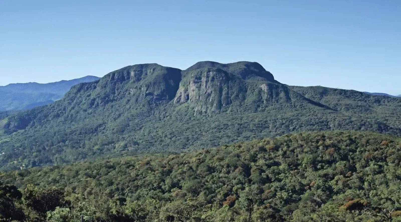
Cloud forests occur where persistent moisture and elevation create distinctive conditions for plants, mosses, amphibians, and birds. The label covers varied montane forests rather than a single global ecosystem. Fog interception, steep slopes, and short elevational bands mean that small changes in land cover or climate can affect water supply and habitat in locally specific ways.
When suitable climate zones shift uphill, species with narrow ranges may have little room to move. Protecting continuous elevational gradients and limiting fragmentation can preserve options, though it does not remove the effects of warming. Compare sites using long-term vegetation and climate records rather than a single photograph of fog or canopy loss.
Cloud forests depend on persistent moisture
Tropical montane cloud forests occur at elevations where moist air frequently condenses into cloud or mist. Trees, mosses, epiphytes, and soils capture water, making these forests important parts of mountain hydrology. The exact elevation band varies with topography and climate, so a cloud forest is not defined by a single height above sea level. UNESCO describes these ecosystems as biologically distinctive and sensitive to environmental change. Their boundary can shift as cloud conditions change, which makes long-term observation more informative than a one-time map. A forest can remain green while its moisture regime is already changing.
A canopy that collects water
Leaves and branches intercept cloud droplets, and the water can drip or run down vegetation toward the forest floor. This process supplements rainfall and helps sustain streams during some periods. The amount captured depends on wind, cloud frequency, vegetation structure, and season. Cutting trees or opening roads can alter that capture and increase edge exposure, while soil compaction may change infiltration. It is tempting to translate these processes into a single water-supply number, but the contribution varies by site and measurement method. Local hydrological studies are needed before assigning a precise value to a named watershed.
Species are adapted to narrow conditions
Cloud forests often support specialised plants and animals, including species with limited ranges and strong dependence on moisture. Epiphytes grow on branches without drawing nutrients from the host tree, while amphibians and invertebrates may be sensitive to changes in humidity. A shift in cloud base or dry-season length can therefore matter even if the forest area appears unchanged. Not every species responds in the same way, and local refuges can moderate exposure. Surveys should include elevation, microclimate, and seasonal timing so that the distribution of species is not interpreted from a coarse regional map alone.
Roads and farms can change the microclimate
New edges allow more sun and wind into a forest, potentially increasing drying and changing the conditions experienced by plants and animals. Roads can fragment habitat and introduce access for logging or settlement. Agricultural conversion also changes how water moves across a slope. These effects interact, and their importance depends on the steepness of the terrain, vegetation, and land management. A photograph of a cloud-wrapped ridge captures one moment but cannot establish how often that moisture occurs. Repeat measurements of fog, rainfall, temperature, and stream flow provide a stronger basis for evaluating environmental change.
Climate change can shift a mountain's cloud zone
As temperature and circulation patterns change, the elevation and frequency of cloud immersion may shift. Species that depend on cool, humid conditions can face a shrinking or moving habitat zone, especially near mountaintops where there is little higher terrain. This is a risk to investigate, not a prediction that every cloud forest will disappear in the same way. IPCC mountain assessments describe multiple climate-related pressures, but a particular reserve needs local evidence. Monitoring can identify changes in cloud frequency and species range before they are obvious in a broad land-cover map.
Protection has to include the watershed
A cloud forest's influence extends beyond the canopy into streams, farms, and communities downstream. Protecting only a scenic viewpoint may leave headwaters or connecting forest exposed. Land planning can preserve riparian vegetation, limit erosion, and avoid unnecessary fragmentation while recognizing the livelihoods that depend on the region. Conservation outcomes are more durable when local authorities and residents participate in defining priorities. A plan should explain how it will monitor both biodiversity and water-related functions, and what would prompt a change in management. The presence of a protected-area label is not by itself a measure of ecological condition.
Observe without reducing the forest to a backdrop
Visitors can help reduce pressure by using established trails, avoiding collection of epiphytes and amphibians, and respecting site-specific rules. Researchers should report methods and acknowledge that clouds can limit visibility or equipment performance. Photography can document habitat but should not substitute for moisture measurements or species surveys. UNESCO and IUCN resources provide broader context; local research stations and watershed agencies are needed for place-specific findings. A careful cloud-forest story connects atmosphere, vegetation, water, and people, then states which links are directly measured and which are interpretations. That distinction makes this fragile ecosystem understandable without exaggerating certainty.
Cloud immersion can influence water capture and microclimate, but the contribution changes with elevation, wind, vegetation, and season. Land clearance may alter those relationships. For this reason, studies should identify the cloud forest type and location rather than extrapolating a result from one mountain range to every tropical upland.