Otters use waterways as connected habitat rather than isolated scenic spots. In England, Natural England's planning guidance notes that rivers, lakes, marshes, coasts, nearby vegetation, resting places, and routes between them can all be affected by development. It also cautions that a lack of records can mean a lack of survey data, not proof that otters are absent.
Claims that cleaner rivers alone explain a return oversimplify the evidence. Water quality, prey, undisturbed banks, safe crossings, and protection of resting sites all influence whether a catchment can support otters. The linked guidance applies to England's planning decisions; legal protections and survey protocols differ elsewhere in Britain and internationally.
A river otter's range follows a connected water network
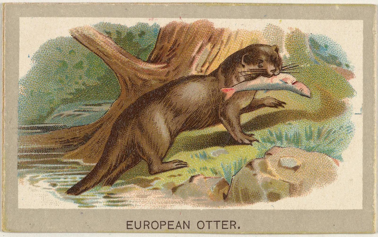
The Eurasian otter is associated with rivers, lakes, wetlands, and, in suitable places, coastal waters. Thinking in terms of a connected catchment is more informative than looking only at a short riverbank. Otters need places to forage and travel, but also quiet resting and breeding sites. A waterway that appears healthy in one stretch may still be difficult to use if culverts, roads, lighting, or disturbed banks interrupt movement. This is why planning guidance considers both the water body and nearby land, including places that may not show an otter during a brief visit.
Signs provide evidence, not a complete census
Surveys often look for spraints, footprints, feeding remains, or other field signs. These records can help establish likely presence and identify routes, yet they do not translate directly into the number of otters using a reach. Signs persist for different lengths of time, are affected by weather, and may be easier to find at some sites than others. A non-detection is therefore not proof of absence. Natural England's planning advice explicitly warns that a lack of records can reflect a lack of survey data. Readers should distinguish a presence survey from a population estimate.
Estuaries are dynamic habitat
At an estuary, fresh and salt water meet, tides reshape the banks, and fish and other prey move with the conditions. Otters may use sheltered creeks and bankside cover while moving between feeding areas. The value of an estuary cannot be reduced to a simple label such as pristine or degraded: water quality, prey availability, disturbance, and safe access to resting places all vary over a short distance. Changes upstream can affect the estuary downstream, which makes catchment-level planning important. A local observation is most useful when it records tide, location, habitat, and survey conditions.
Development can affect more than the footprint
A building project near water may alter otter habitat through construction noise, night lighting, bank clearance, water pollution, or a barrier to a familiar route. The visible construction footprint is not necessarily the full ecological effect. Natural England advises planners to consider the likelihood of presence, the scale of development, habitat connectivity, resting sites, and changes in water quality. It also recommends surveys when records or the affected habitat indicate that otters may be present. Those are planning principles for England; legal rules and survey protocols differ elsewhere and should not be generalised to other countries.
Crossings and quiet margins matter
Roads near waterways can create a particularly direct risk when an otter has to leave the bank to pass a bridge or culvert. Ledges, underpasses, and suitable bank continuity can help maintain movement, but the design must fit local hydrology and animal use. A buffer of undisturbed vegetation can also reduce noise and preserve cover. These features need inspection after installation: a ledge blocked by debris or a passage cut off by fencing may not deliver the intended result. Monitoring should check both whether the structure remains available and whether animals actually use the route.
Recovery claims need a baseline
It is tempting to describe a sighting in a restored river as proof that otters have returned because of one project. That causal claim requires more evidence. Researchers need a baseline before work begins, repeated observations afterward, and attention to other changes such as fish recovery or survey effort. A return may be encouraging while still reflecting broader regional trends. Where no comparable data exist, the honest conclusion is narrower: an otter sign was recorded at a particular place and time, and the site may provide suitable habitat. This kind of precision makes local observations more useful to planners and conservation teams.
Reading a river through the otter
An otter is not a simple scorecard for river health, but its needs invite useful questions about water, prey, shelter, and connectivity. A catchment plan can pair otter surveys with fish monitoring, pollution records, bank condition, and road-mortality data. Communities can contribute repeat observations when they are trained to record evidence consistently and avoid disturbing resting places. The practical goal is not to promise that every river will support an otter. It is to identify where habitat is connected, where barriers remain, and which changes can be measured over time without exposing animals to additional pressure.
For survey planning, habitat suitability and signs such as spraints or tracks help identify where a qualified survey may be useful. Surveys should cover connected banks and likely resting habitat, not just a point where a sighting was reported. Activities near water can disturb otters even when no animal is visible.