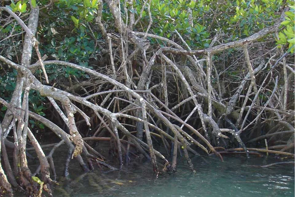
Mangroves grow in tropical and subtropical intertidal zones, where salt, tides, and low-oxygen sediments shape their form. Their roots can slow water and trap sediment, while the forest structure provides habitat for fish and other organisms. Mangrove species and functions vary by coastline, so global averages should not replace local evidence.
Coastal development, aquaculture, altered freshwater flows, and sea-level rise can affect mangrove extent and condition. Restoration works best when it restores hydrology and uses suitable native species rather than simply planting seedlings. NOAA's resource describes basic ecology; local coastal agencies are essential for site-specific restoration and access guidance.
Mangroves occupy a moving boundary
Mangrove forests grow in tropical and subtropical intertidal zones, where tides, salinity, freshwater, and sediment shape their form. Their roots can trap sediment and create habitat used by fish, crabs, and other organisms. Mangrove species differ in their tolerance of salt and flooding, so the same planting plan will not work at every coast. NOAA's overview introduces these conditions, while local studies are needed for species composition and site-level functions. A map of mangrove extent can show where forest is present, but not whether it is healthy or whether tidal exchange is functioning.
Roots link shoreline habitat and water movement
Mangrove roots slow water and can reduce wave energy locally, while the forest structure provides refuge and feeding space for marine organisms. These benefits depend on forest width, density, species, shoreline shape, and storm conditions. Mangroves are not an unbreakable sea wall, and their presence does not eliminate coastal flood risk. A careful article distinguishes ecosystem services from guarantees. It also notes that mangroves sit within a wider coastal system that may include seagrass, reefs, mudflats, and estuaries. Protecting one habitat while degrading the others can weaken the resilience of the whole shoreline.
Hydrology can decide whether restoration takes
Mangrove planting often fails when the water regime is unsuitable. Tidal exchange, elevation, sediment supply, and freshwater flow determine whether seedlings can establish. Restoration may require reopening a channel or changing a barrier rather than placing more seedlings into the mud. Global Mangrove Watch combines remote sensing and field information to help map mangrove extent, but site-level restoration still needs local hydrological diagnosis. Monitoring should track survival, natural recruitment, species composition, and elevation changes. Counting planted seedlings at installation is an activity measure, not proof that a forest is returning.
Coastal development creates cumulative pressure
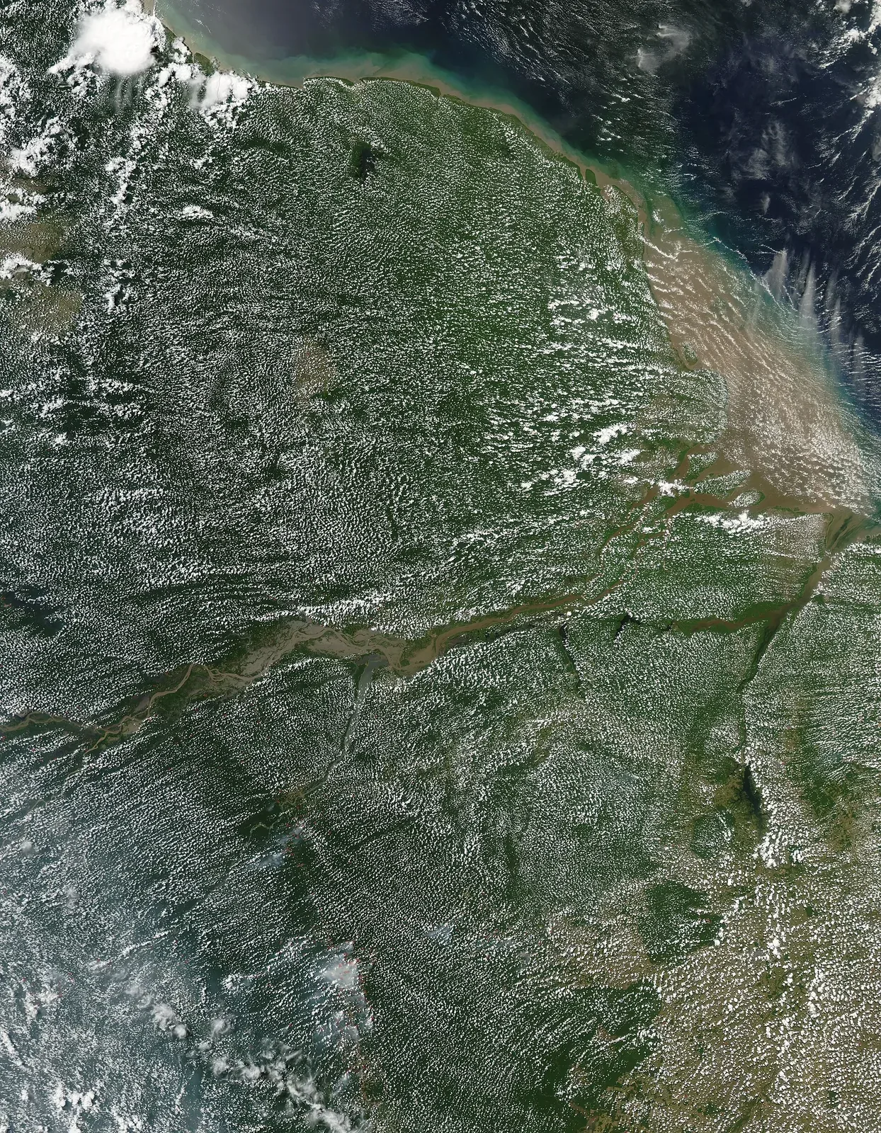
Aquaculture, ports, roads, settlements, and shoreline engineering can remove mangroves or interrupt water flows. A small project may appear limited in isolation while contributing to cumulative habitat loss across a coast. Runoff and pollution can affect adjacent waters, and altered freshwater may change salinity. Environmental assessment should examine the full tidal landscape and other planned development. Claims about the area lost should state the dataset, year, and definition of mangrove. Satellite maps can reveal change but need ground validation, especially where cloud cover, mixed vegetation, or narrow coastal strips complicate classification.
Climate pressure includes both sea and sediment
Rising sea level can increase inundation, but the outcome depends on whether mangroves can migrate inland or build elevation through sediment and organic matter. Seawalls and other development may block that migration, while sediment changes can alter the balance. Extreme storms can remove trees or redistribute land. These processes vary widely by coast. A global statistic should not be applied to a specific estuary without local elevation and sediment data. Adaptation planning can protect migration space and maintain natural hydrology, while recognizing that coastal communities also need safe housing and infrastructure.
Carbon claims need precise accounting
Mangroves store carbon in vegetation and waterlogged soils, but estimates depend on area, depth, ecosystem type, and the method used. A change in canopy cover does not reveal the full change in soil carbon. Restoring a site may protect future storage, but carbon benefits should be calculated under a transparent baseline and avoid double counting. The primary case for mangroves is broader than carbon: they are habitat, support fisheries, and shape shorelines. If an article uses a blue-carbon number, it should provide the year, geographic scope, and source and make clear whether the number describes stock or annual flux.
Monitor forest condition, not just forest extent
Global Mangrove Watch maps extent and change, while field plots can measure tree condition, species, regeneration, and hydrology. The two approaches answer different questions and are stronger together. A forest may retain the same mapped area but lose canopy quality or become cut off from tidal flow. Repeated monitoring can reveal where protection is working and where restoration needs adjustment. Community participation is important because local fishers and residents may notice changes in access, water, and wildlife before those changes appear in a coarse map. Clear reporting should show both spatial coverage and ecological condition.
Mangrove restoration should start with the causes of decline: blocked tidal exchange, altered freshwater flows, erosion, or land conversion. Planting trees in the wrong elevation or sediment can fail even when many seedlings are installed. Restoring the physical conditions often matters more than a high initial planting count.
Mangroves can support fisheries and reduce some coastal risks, but protection varies with forest width, species, storm characteristics, and shoreline shape. Avoid describing them as an absolute wall against storms. Local risk assessments should combine ecosystem condition with engineering and community planning.