Savannas are dynamic mosaics of grasses, trees, herbivores, predators, and fire. Movement corridors matter because animals track water and forage as seasons change, while fire can maintain open structure or cause damage depending on timing, intensity, and context. There is no single universal grazing cycle that applies to every savanna.
A conservation plan should map seasonal access, migration routes, land tenure, and fire history alongside wildlife counts. Fences, roads, and agricultural conversion can disrupt movement even where some habitat remains. Management choices should be developed with local communities and tested against ecological monitoring instead of assuming that a familiar model transfers unchanged between regions.
Fire is a process, not a single event
Savannas are shaped by interactions among grasses, shrubs, trees, herbivores, rainfall, and fire. The role of fire changes with season, intensity, frequency, and the history of a site. A late dry-season burn can have different effects from an early, patchy burn, and local plants respond in different ways. It is therefore misleading to treat all burning as either destructive or beneficial. A fire regime is a pattern that can be studied over time, not a one-off spectacle. Conservation plans should identify which species and habitat features they intend to maintain before recommending any management action.
Corridors must preserve movement options
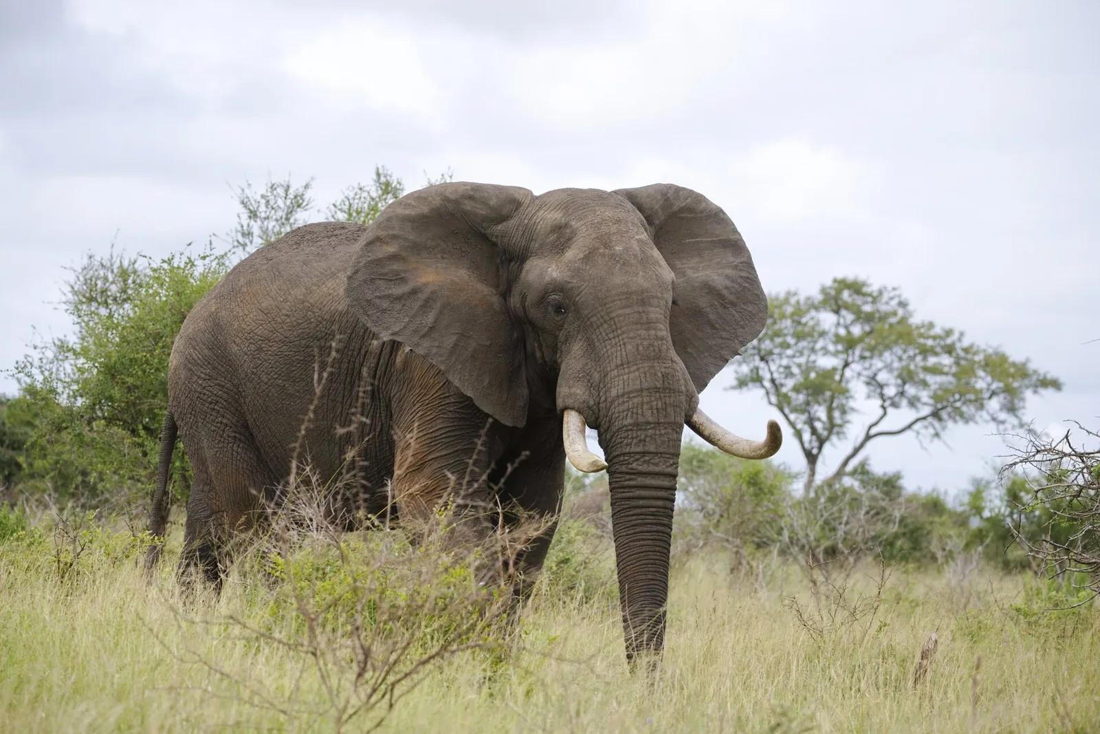
Large herbivores and predators may move between seasonal feeding areas, water sources, and breeding grounds. A corridor needs to connect places that animals actually use and remain permeable through changing land use. A narrow mapped strip can be ineffective if fencing, roads, or settlement expansion blocks passage. UNESCO's site documentation for ecosystems such as the Serengeti describes how migration extends beyond a single park boundary. This illustrates a general planning point, not a claim that every African savanna shares the same route or species. Local tracking, community knowledge, and land-cover maps can identify where connectivity is most important.
Grazing changes vegetation mosaics
Grazing affects plant height, seed production, and the balance between grass and woody cover. Its effect depends on which herbivores are present, their density, the season, and how long they remain in an area. A patch with few large animals may develop differently from one with a mixture of grazers and browsers. That does not make one state universally better: different species depend on different structures. Monitoring can measure vegetation composition alongside herbivore movement rather than using a single visual impression of 'open' or 'overgrown' land. The aim is to understand the processes that sustain habitat diversity.
Reading a burn scar carefully
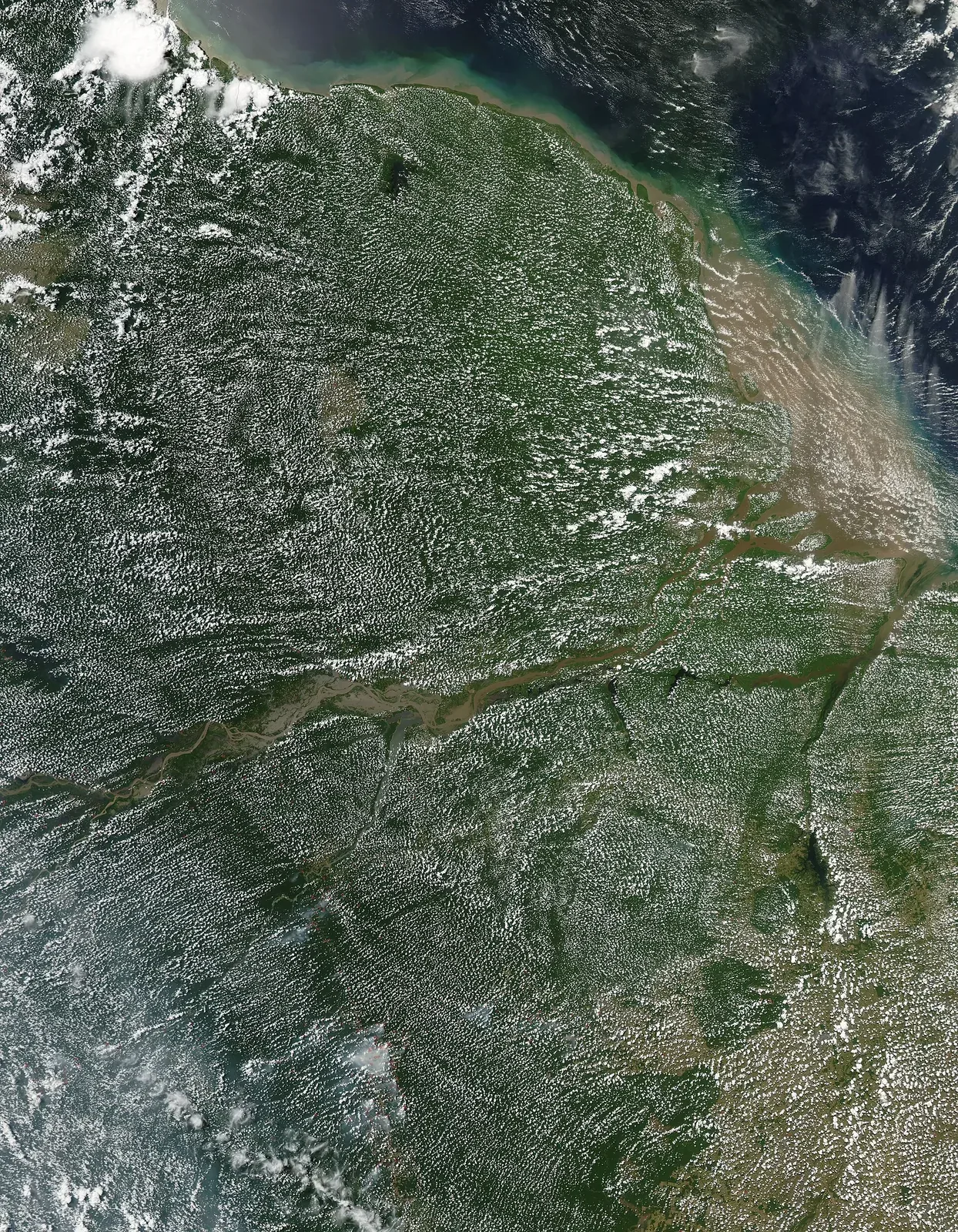
A recent burn can reveal where fire moved, but not automatically why it started or whether it was ecologically beneficial. Weather, fuel moisture, wind, ignition source, and management all shape its spread. Satellite imagery may map the burned area, while field plots show which plants resprout or which soils were affected. Neither method alone describes the whole event. Reports should identify the date and sensor or field method used, then distinguish observations from interpretation. In places with long-standing cultural burning practices, outside accounts should also avoid erasing local knowledge or presenting every planned burn as a modern technical invention.
Wildlife viewing can coexist with natural behavior
Savanna wildlife is often watched from vehicles or trails, but repeated approach can alter feeding and movement. Massachusetts wildlife-viewing guidance recommends using binoculars rather than one's feet and backing away when an animal changes behavior; local rules differ, so visitors should follow the park or reserve's own requirements. Dawn can offer useful light and animal activity in some places, but the best time depends on species, weather, and site conditions. Guides should give animals space and avoid crowding a sighting. A responsible experience accepts a distant view instead of pushing closer for a photograph.
Community land use belongs in corridor planning
Many routes used by wildlife cross areas where people farm, graze livestock, or travel. A corridor proposal that ignores these uses may shift costs onto local residents or fail in practice. Participatory planning can identify seasonal access needs, conflict areas, and options for shared benefits. Monitoring should include whether a route remains open and whether people consider the arrangement workable. Tourism can support conservation in some settings, but benefits are not automatic or evenly distributed. A transparent account explains who manages the land, how decisions are made, and what evidence exists about the outcomes.
Measure function rather than drawing a line
A corridor is functioning when it supports movement, gene flow, or access to resources relevant to the target species. Researchers can test this with GPS tracks, camera traps, genetic data, and repeat habitat surveys. Each method has a different scale and time horizon. A corridor used in one season may not serve during drought or breeding, while a genetic signal can reflect movement over many generations. A strong management plan defines indicators and revisits them after infrastructure or land-use changes. Savanna conservation is most credible when it connects fire and grazing ecology with the practical question of where animals can still move.
Fire is neither uniformly harmful nor automatically beneficial. Frequency, season, intensity, and patch size can determine whether a burn maintains grassland structure or damages soils and woody vegetation. Some savanna species depend on particular fire patterns, while others need unburned refuges within the larger mosaic.