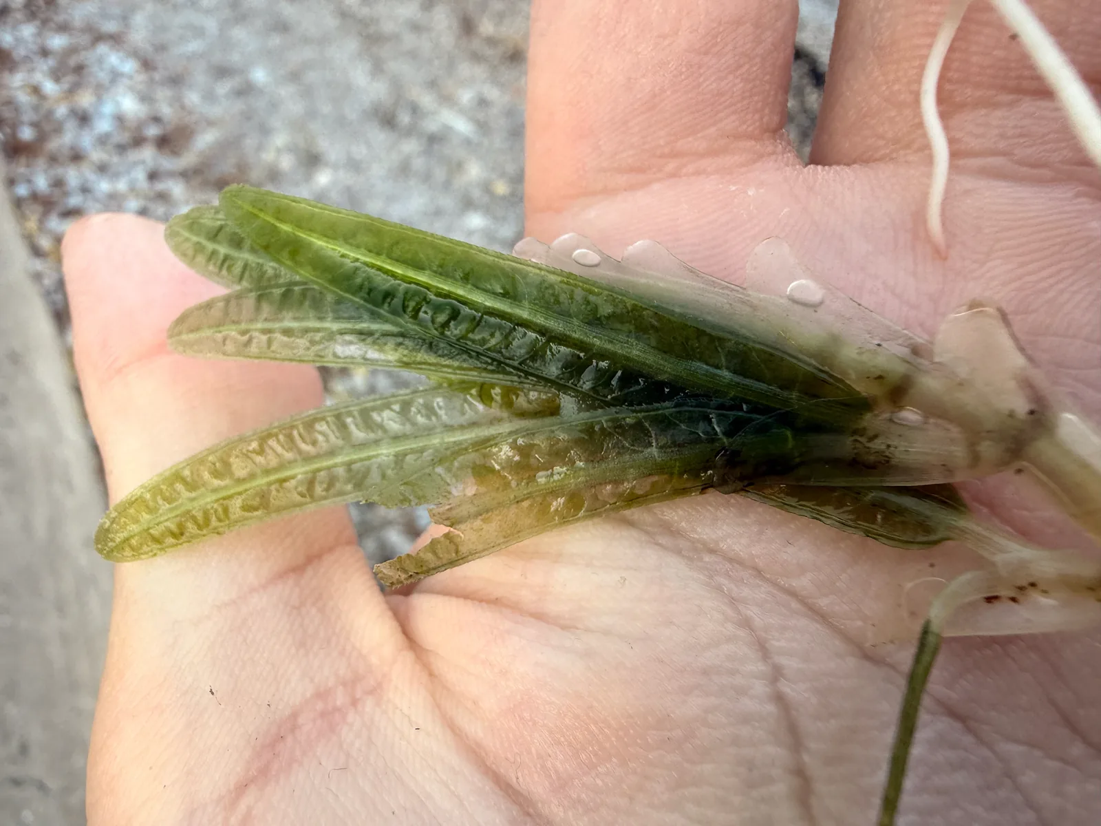
Seagrasses are flowering plants that grow underwater in shallow coastal areas. Meadows can stabilise sediment, support invertebrates, and provide nursery, refuge, or foraging habitat for different species. Their role varies by place; a local meadow may be important even when it is not large enough to appear in a global map.
Water clarity, anchoring, dredging, coastal construction, and nutrient inputs can affect seagrass. Restoration requires suitable light, sediment, and hydrology, and success should be measured beyond the number of shoots planted. NOAA's overview describes ecosystem roles, while regional monitoring programmes provide maps and status for particular coasts.
Seagrass is a flowering plant under the water
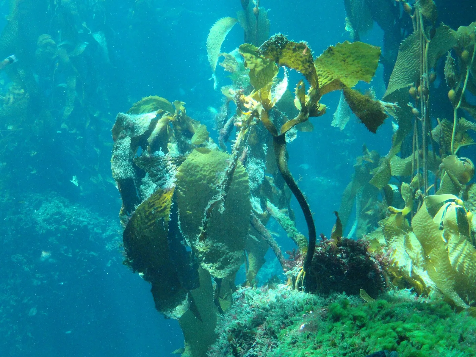
Seagrasses are marine flowering plants that grow in shallow coastal waters, rooted in sediment and able to form meadows. They are not seaweeds, although their underwater leaves can look similar from the surface. Seagrass beds provide habitat for fish and invertebrates, stabilize sediment, and connect coastal ecosystems. Their distribution depends on light, water clarity, depth, currents, and substrate. NOAA's seagrass resources describe these roles, while local monitoring is needed to understand a particular meadow. A useful introduction starts with this distinction because plant biology helps explain how the habitat responds to changing water conditions.
A meadow supports several life stages
Fish and invertebrates may use seagrass for feeding, shelter, or juvenile development. The value of a bed varies by species and region; not every fish depends on seagrass in the same way. Leaves also support epiphytes and small organisms that become food for larger animals. A patch can therefore influence a wider food web beyond its visible boundary. Surveys can measure extent, shoot density, species composition, and associated animals, but each indicator answers a different question. Calling a site a nursery should be supported by evidence about which species use it and during what life stage.
Water clarity can determine whether plants persist
Seagrass needs enough light to photosynthesize. Runoff, dredging, algal blooms, and sediment disturbance can reduce water clarity, making it harder for plants to survive at depth. Nutrient pollution can also alter algae growth and the balance of the system. The response may appear gradually: a meadow can thin or lose deeper edges before disappearing from a broad map. Water-quality records and repeated habitat surveys help detect early change. NOAA sanctuary monitoring programmes show how long-term observation can identify trends and connect them to water conditions rather than relying on a single visual inspection.
Boating and anchoring leave lasting marks
Anchors, propellers, and repeated vessel traffic can scar a meadow or break it into fragments. Damage may remain visible for years, especially where shoots grow slowly or sediment is unstable. Boaters can use marked channels and moorings where available, and follow local navigation rules. A restoration team should map scars and monitor recovery rather than assuming that an abandoned anchor line will quickly disappear. The scale of damage depends on vessel size, frequency, and meadow type. Responsible boating advice should be specific to local conditions and should not imply that every seagrass bed has the same resilience.
Restoration begins with the cause of loss
Seagrass restoration may involve transplanting shoots, seeding, or allowing natural recolonization after water quality improves. The method needs to match the cause of degradation. If excess nutrients or turbidity continue, planting may fail. A restoration plan should define a reference condition, site selection, genetic material, and success measures such as survival, expansion, and ecological function. It should also consider potential damage to donor beds. A planted patch is a start, not proof that the meadow has returned. Long-term monitoring is needed to determine whether the habitat persists through storms and seasonal change.
Carbon storage claims should be local and dated
Seagrasses can store carbon in biomass and sediments, but estimates vary with species, water depth, sediment conditions, and the period measured. A global average does not determine the carbon stock of a specific bay. Carbon projects need transparent boundaries, baselines, and accounting rules. The habitat's value also includes biodiversity, fisheries, and water clarity, which should not be reduced to a single carbon metric. If an article gives a carbon number, it should identify whether it is a stock or annual flux, the method, and the geographic area. This precision helps avoid inflated claims about climate benefits.
Monitoring can connect meadow change to decisions
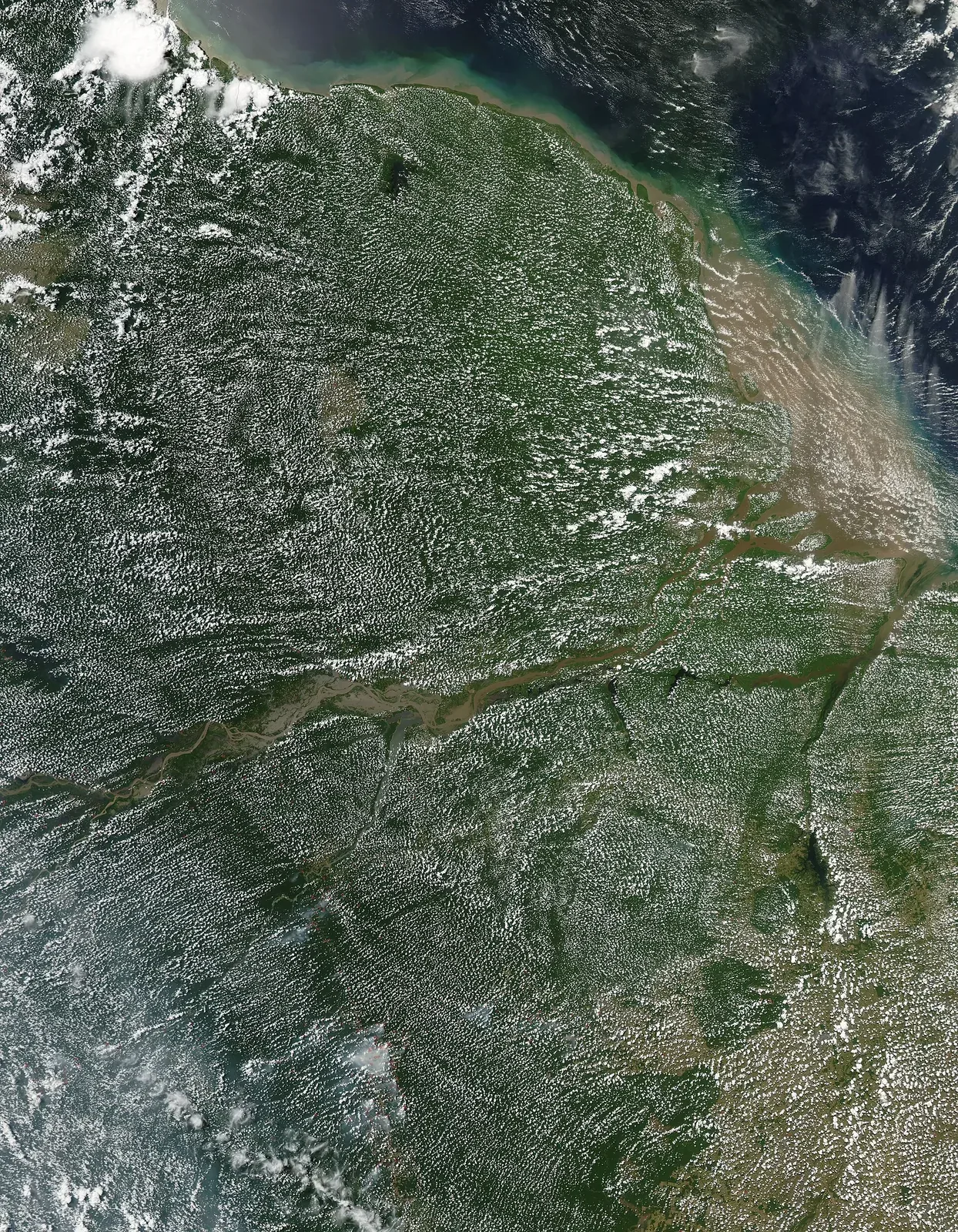
Satellite and aerial imagery can map extent, while divers and fixed plots assess plant condition and associated life. Acoustic and water-quality measurements can reveal environmental changes that precede visible loss. These methods work best when repeated on a schedule and linked to management decisions. NOAA's sanctuary programme demonstrates the value of tracking status and trends across a broad area. Community science can add observations if participants are trained and data are checked. Seagrass conservation is practical work: keep water clear, reduce physical damage, restore suitable hydrology, and verify results instead of assuming that a map or a planting report tells the whole story.
Meadows may be patchy or continuous and can be difficult to map from the surface. Satellite imagery, underwater transects, and sonar each reveal different information. Consistent mapping helps managers detect loss from anchoring scars, dredging, or water-quality changes before small patches disappear.